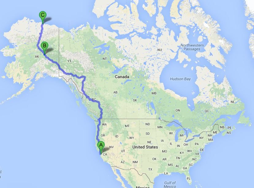
I have been researching the trip and the mileage to the town of Deadhorse AK via the Dalton highway.
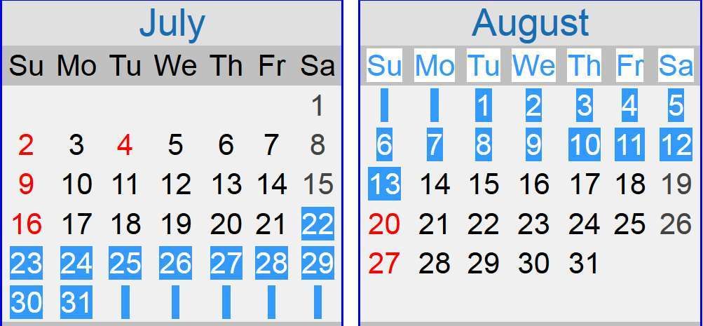
2017 Calendar

The Dalton Highway to Deadhorse, AK - Prepare Now for summer of 2017
23 days total
15 business days
mosquito's are on the wane.

Connects: Elliott Hwy to Deadhorse, AK
Route#: Alaska Route 11
Length: 415 miles
Road Surface: 25% Paved, 75% Gravel
Season: Open all year
Highest Pass: Atigun Pass, elev. 4,800 feet
MILE 0 Junction with Elliott Highway .
MILE 56 Yukon River Camp; food, gas, lodging. BLM Visitor Contact Station and Yukon River viewpoint.MILE 60.3 Hot Spot Café and Arctic Circle Gifts (email); food, lodging, gift shop. Mile 60 BLM campground and dump station.
MILE 98.1 Finger Mountain BLM Wayside; day-use only rest area with walking path to tors.
MILE 115.5 Arctic Circle BLM Wayside; picnicking, Arctic Circle monument, camping.
MILE 135.7 F 219.7 D 279.3 Prospect Camp, turnout with informal camping.
MILE 150.2 Grayling Lake Wayside; day-use only rest area.
MILE 174.8 COLDFOOT (pop. 12); gas, diesel, food, lodging at Coldfoot Camp. Arctic Interagency Visitor Center. MILE 175 Coldfoot Airport. Alaska State Troopers and Dept. of Transportation to the west.
MILE 179.7 Marion Creek BLM Campground.
MILE 188.6 Turnoff for WISEMAN (pop. 16); Wiseman Historical Museum. Lodging at Arctic Getaway Cabin & Breakfast, Boreal Lodging (Boreal Coffee & Gifts) and Wiseman Gold Rush Camp B&B.
MILE 244.7 Atigun Pass, elev. 4,800 feet, in the Brooks Range, highest highway pass in Alaska.
MILE 274.7 Galbraith Camp (no services); undeveloped public campground with outhouse.
MILE 354.6 Last Chance Wayside; day-use only rest area.
MILE 412.8 Deadhorse Camp; lodging, restaurant, gas, tire repair. Arctic Ocean tours (24-hour advance reservation and ID required).
MILE 414 End of Dalton Highway at DEADHORSE/PRUDHOE BAY; food, gas, lodging. Deadhorse Camp offers lodging, restaurant and Arctic Ocean tours.
it is 3500 miles one way from San Jose CA to Deadhorse.

The Dalton Highway to Deadhorse, AK - Prepare Now for summer of 2017
here are some of the resources I have found.
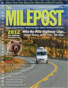
The milepost magazine
http://www.milepost.com/highway_info/dalton_highwayThe magazine comes out yearly and list all mile post along the Alaskan highway.
I bought an older copy from eBay just for planning/dreaming purposes.

Great PDF's of the Dalton Highway can be found here.
It breaks the map onto two sections that are large.
http://www.blm.gov/style/medialib/blm/ak/fdo/maps_and_documents.Par.65162.File.dat/Daltonmaps.pdfHere is a smaller map of the complete Dalton Highway.

The Dalton Highway to Deadhorse, AK - Prepare Now for summer of 2017
Good driving tips for driving a rock and gravel Dalton Highway
http://www.blm.gov/ak/st/en/prog/recreation/dalton_hwy/dalton_recreate/hunt.html[SIZE="5"]What is the best time to drive the Dalton Highway?[/SIZE]
June: a lot of mosquitoes, muddy and slick sections due to late breakup make it a little more challenging in May and June; long daylight is a plus already early in the season.
July: the road is drier, long daylight hours make driving easy; there are less mosquitoes by the end of July
August: less mosquitoes, it can be dry or rainy (August generally has more rainy days than July); fog in the early morning hours around Atigun Pass can be very thick be the end of August. Always check the road conditions before you drive.
September: conditions are usually pretty good until mid of September, although snow storms are possible, especially around Atigun Pass. Almost no mosquitoes anymore but it gets dark at night
October - April: winter conditions