Part three of five parts - Trona Pinnacles Trail, Slate Range Trail, Mengel Pass Trail, Harry Wade Escape Route and the Ibex Dunes Trail.
Part one:
http://www.sccxterra.com/smf/index.php/topic,464.0.htmlPart two:
http://www.sccxterra.com/smf/index.php/topic,466.0.html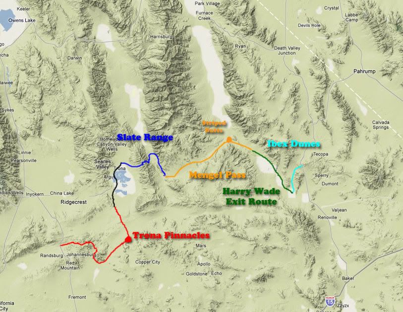
Mengel Pass Trail Nov 2009
(only rough estimate of the trails taken)
(click on the pictures to resize them for your screen)
The Megel Pass TrailDay two brings on the Mengel Pass Trail, about 50 miles of remote and beautiful views running from the Slate Range Trail and the Panamint Valley up into the Panamint Range, though the Mengel Pass and down Warm Springs Canyon and into Death Valley proper. Along the way it passes the Barker Ranch where notorious killer Charles Mason holed up and was arrested following several murders in the Los Angeles area.
Mengel pass is named after prospector Carl Mengel who had a number of claims in the area. Born in San Bernardino in 1868 he constructed a three stamp mill near Redlands Canyon in 1898. In 1912 Mengel moved to the Oro Fino Mine in Goler Wash and discovered even more promising sites near by. Carl is buried at the top of the pass and there's a small grave marker.
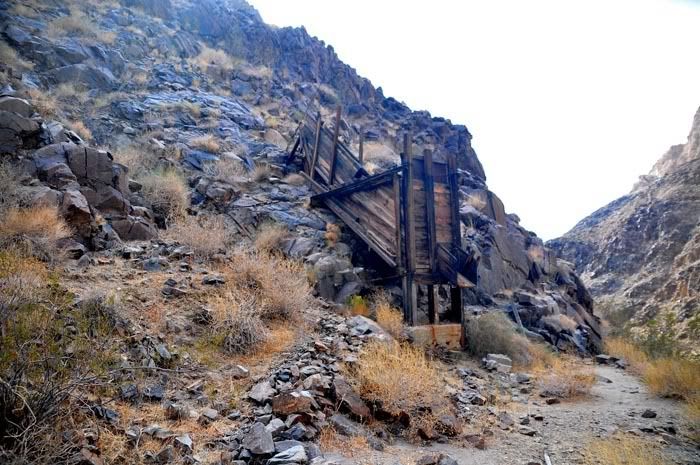
One of several abandoned mine sites along Warm Springs Canyon
Mengel Pass Trail Nov 2009
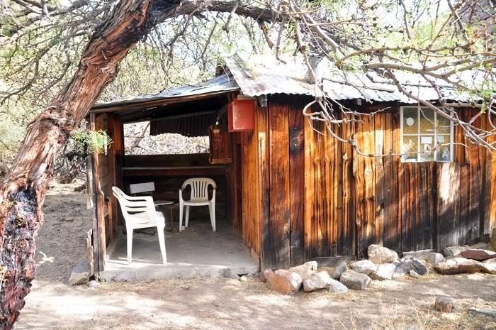
An old miner's shack. The inside is littered with rodent droppings ... but it looks like people have used the place recently as there was a foam mattress leaned against one wall.
Mengel Pass Trail Nov 2009
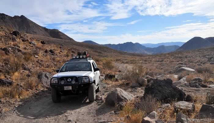
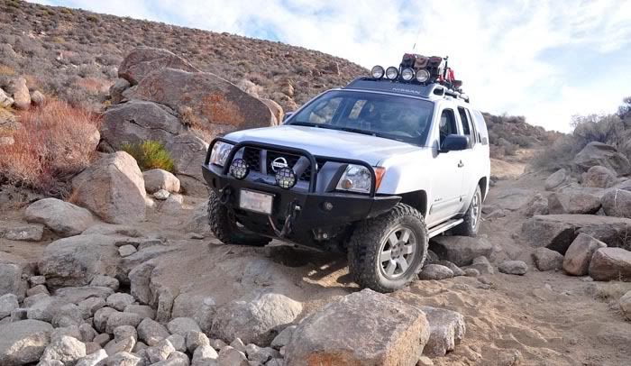
The trail runs from very easy ...
Mengel Pass Trail Nov 2009
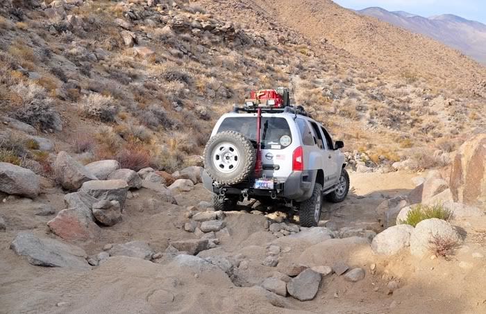
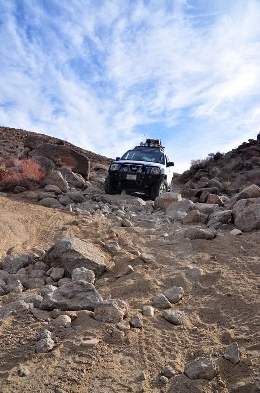
To a bit of a challenge, this section is not fully "black diamond" but darn close in some spots. I had my wife come out and spot in a few places coming down the pass. Nothing like blowing a tire or getting high centered while alone. I had the winch as a back up and there were plenty of very large rocks to act as an anchor if I needed a tug.
Mengel Pass Trail Nov 2009
Mengel Pass Trail Nov 2009
Mengel Pass Trail Nov 2009
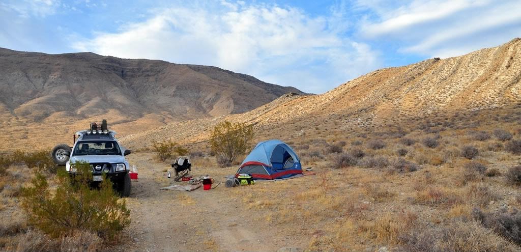
The two cabins on the west wall of Death Valley at the two warm springs were both occupied by 3:00 PM when we made the area. The next day we met the couples in one of the two cabins and there were from England, two of them on their honeymoon. We wandered around that area of the valley looking for an existing campground and found one on the north end of the Striped Butte.
Mengel Pass Trail Nov 2009
The clouds that were overhead all day left for a beautiful sunset.
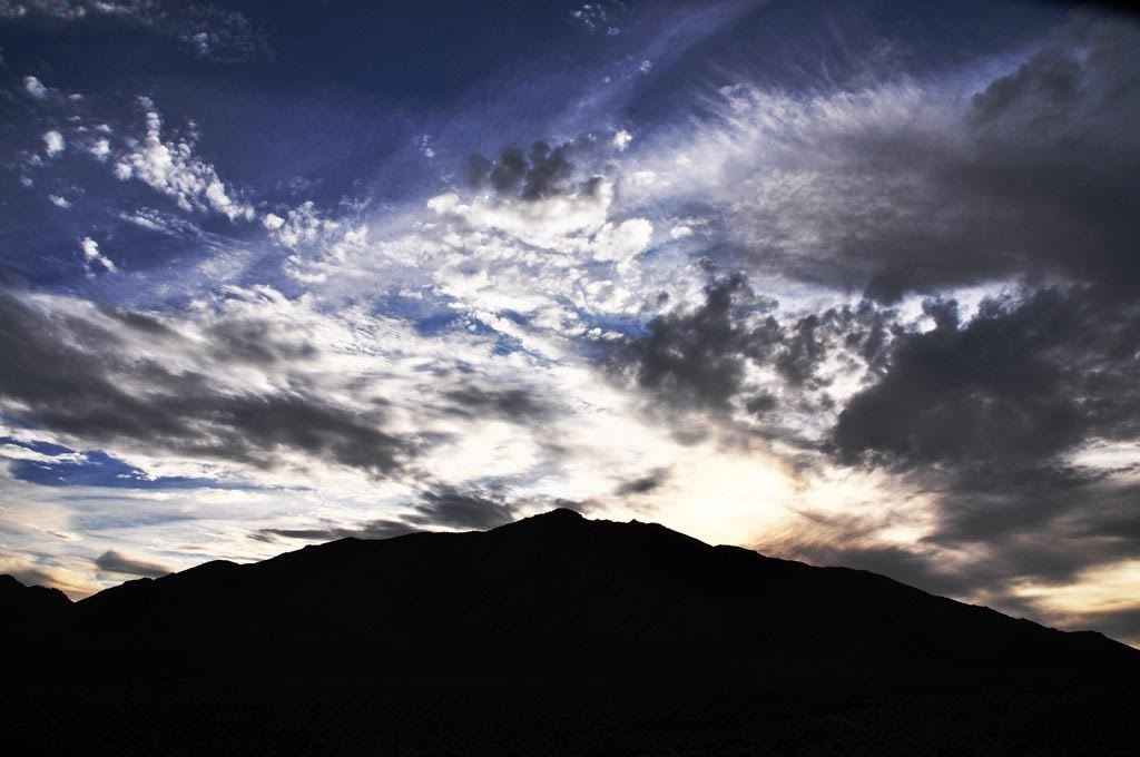
Mengel Pass Trail Nov 2009
Several flights of these guys were heard flying around ... and I finally manged to see one and catch a photo.
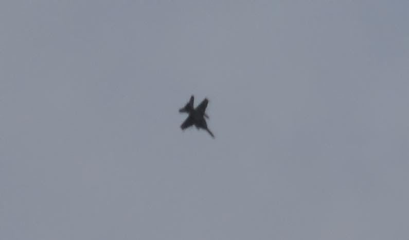
Mengel Pass Trail Nov 2009
The night was beautifully clear again. Dinner was surf and turf - bacon wrapped steak medallions and shrimp cocktail.
We weren't the only ones in the valley and sound sure carries. The near-by ... well I'll call them "donkeys" were pretty loud all night long. We could hear them making noise, calling to each other. One of the "donkeys" wandered some two miles from where the rest of them were staying and I actually scared him away with a flashlight. I heard him scampering off back to his buddies. The nerve!
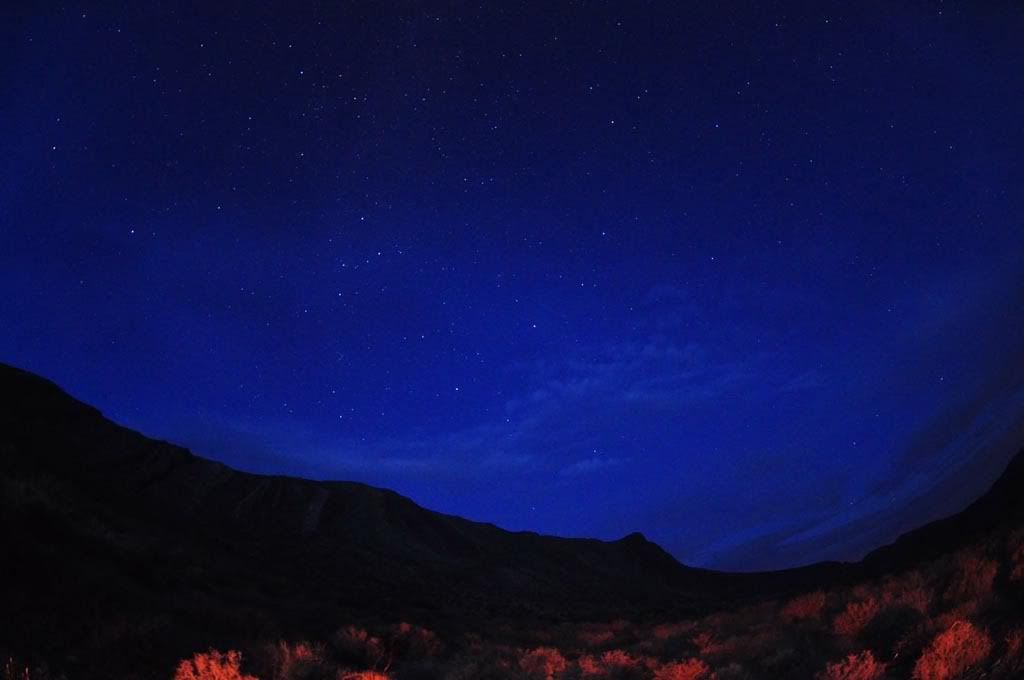
Mengel Pass Trail Nov 2009
The next morning I was up before dawn (and Noon!) and manged to catch one of the donkeys wandering down a trail toward our campsite. I took about 20 pictures of him and he wasn't at all scared of me. He wandered past our campsite and sat and brayed and grazed for a couple of hours within 200 feet of our campsite.
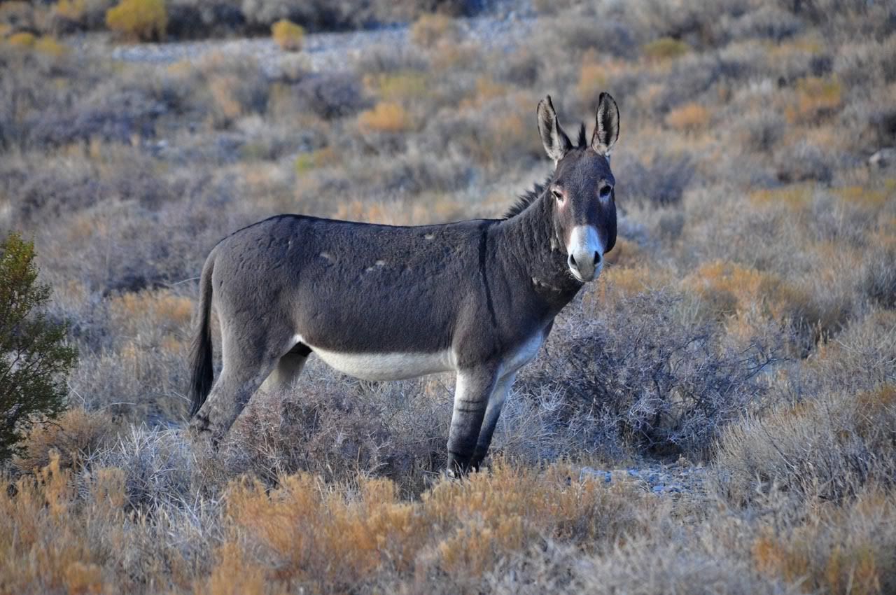
Mengel Pass Trail Nov 2009
The next morning we headed down into Warm Springs Canyon and explored some more of the mine sites. Warm Springs mine had several cabins to use that were built in the late 1800's to service the miners. An empty swimming pool is still there. The spring produces hundreds of gallons of water a minute and the area is lush with reeds, trees, and animals.
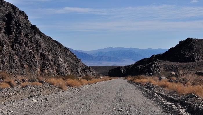
Looking down Warm Springs Canyon into Death Valley
Mengel Pass Trail Nov 2009
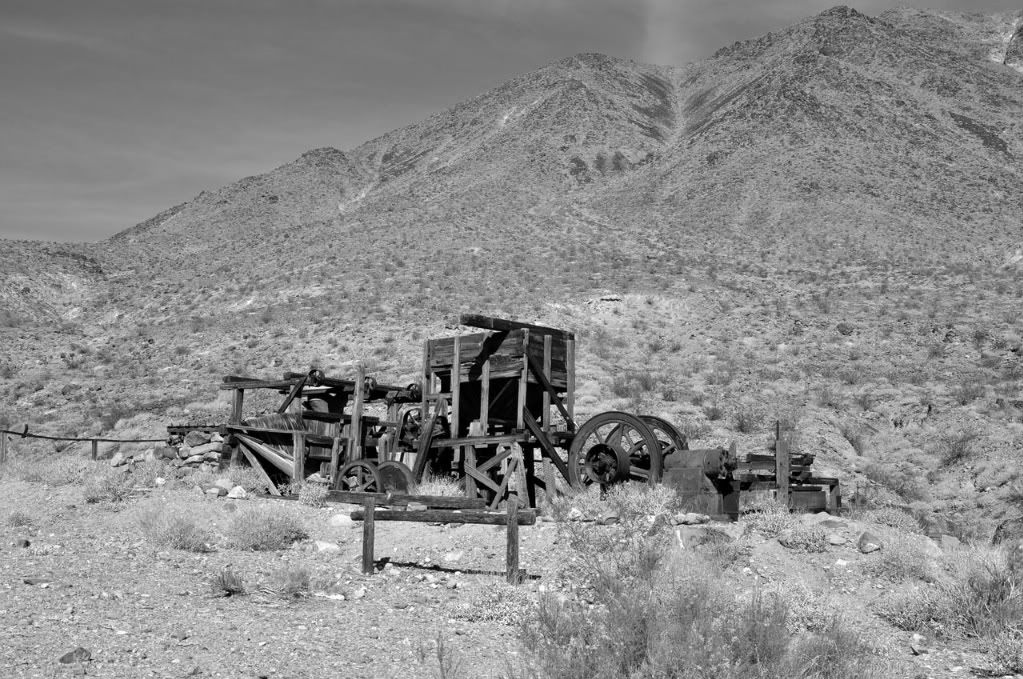
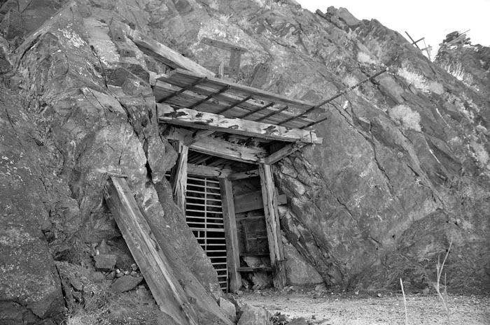
Some of the mine ruins. These were talc mines which were very active during World War II. Large blocks and pieces of talc rock are scattered around the sealed entrance. The mine still looks pretty well supported all these years later.
Mengel Pass Trail Nov 2009
Mengel Pass Trail Nov 2009
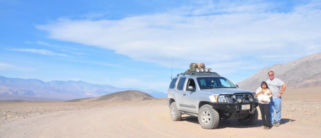
Heading down into Death Valley now a well graded gravel road from the spring area brought incredible views of Death Valley. This is by far the largest, most empty valley I've ever seen. Looking at the next valley over, Panamint, Death Valley is nearly empty of all vegetation - it must be like the surface of the moon. Even the panoramic pictures below are only partial views in one direction.
Mengel Pass Trail Nov 2009

Mengel Pass Trail Nov 2009
The above panoramic photo much bigger (928Kb):
http://i6.photobucket.com/albums/y215/paul1960/Xterra/Death%20Valley%20Solo%20Nov%202009/Mengel%20Range/DeathValleyPanoramaSuper.jpgThe "money shot" where we dropped below sea level ... actually the dash board!
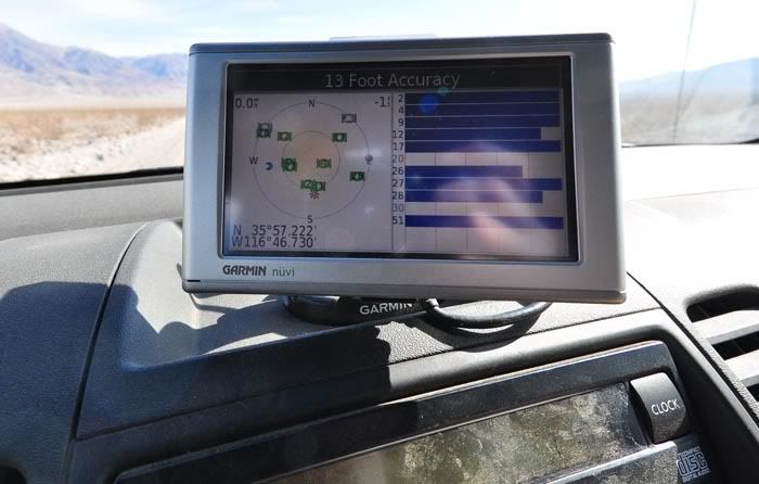
Mengel Pass Trail Nov 2009
Down in the valley ... the valley so low ....
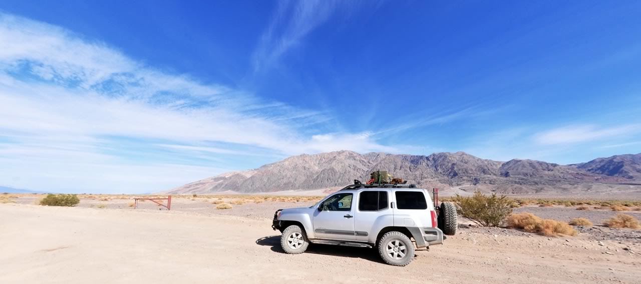
Mengel Pass Trail Nov 2009
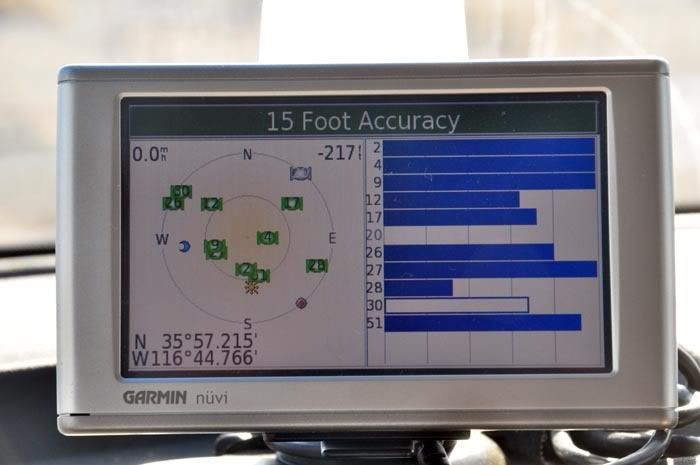
Mengel Pass Trail Nov 2009
We had lunch near the ruins of the Ashford Mill which was used to refine gold in the early 1900's. We next grabbed about 5 miles of pavement and headed south toward the Harry Wade Escape Route and the Ibex Dunes.